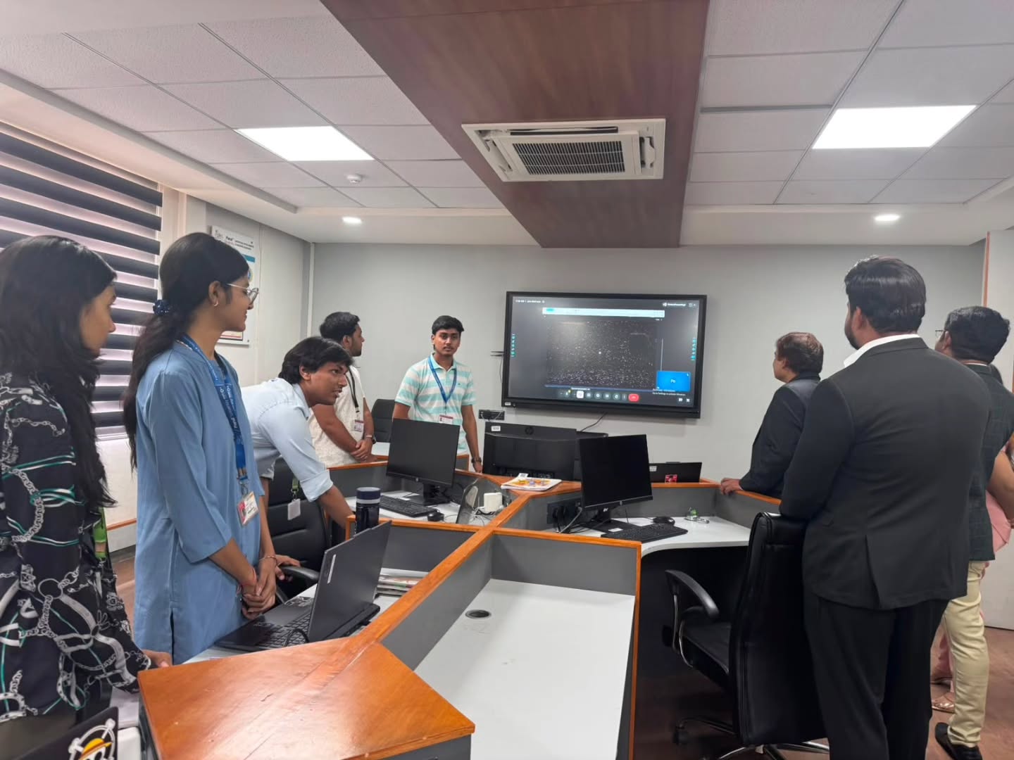
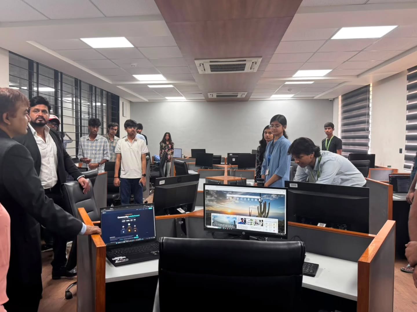
Managing large gatherings isn’t an easy task to do, from the number of people to where the crowd is more concentrated to taking care of available routes. It’s important to take care of all these factors. An AI-based crowd management software built by a student team at Parul University’s Tinkering Hub brings those requirements together, combining crowd counting, safety assessment, and route management into a single, developing platform. It is a clear example of a college project growing into a working technology prototype.
Beyond Crowd Counting!
Usually, all the crowd-technology projects don’t move beyond this question: How many people are there? The same number matters, as a stadium may have a stated capacity, but crowd-management challenges extend far beyond stadiums to public gatherings, institutional events, roads, and other high-footfall locations.
- The real questions come after the count: How much space is available?
- What is the safe limit for this location?
- And if a crowd must be moved, where should it go and along which routes?
The Parul University team designed its system around exactly that progression and built it out in three phases.
Phase 1: Crowd Counting and Density Mapping
The first phase tackled the foundational requirement, estimating the number of people at a given location. The team built a prototype that analyses uploaded crowd images and videos, identifies individual heads within the crowd, and uses the resulting density information to generate a heat map: areas of higher concentration appear as greater density, which lets the system estimate how many people are present at a particular spot.
In one demonstration, an uploaded image produced a density map and an estimated count of 419 people, with less crowded areas clearly distinguished from tightly packed ones. According to the project team, the model was trained on around 10,000 images and tested on roughly 100,000 and showed crowd-counting performance in the range of about 96 to 97 per cent during the demonstration. At this stage, the system answers the basic question: how many people are present, and where is the crowd concentrated?
A turning point came when the students presented the concept to information-technology officials of the Vadodara Municipal Corporation (VMC). The discussion pushed the team to think beyond uploaded images and recorded videos, toward closed-circuit television (CCTV) feeds, mobile-based inputs, and locations where a defined safe capacity is critical. That feedback shaped the next two phases.
Phase 2: Measuring Capacity and Planning Movement
The second phase expanded the project from counting people to understanding the space they occupy. The team added mapping and defined nodes within a selected area so that, based on the size of a location and how many people it can accommodate, the system can estimate three thresholds: the maximum capacity, the safe limit, and the dangerous level for that place. It also learned to plan movement. Working with mapping systems and route-search methods, the prototype can identify possible routes between two points and determine practical factors for each: distance, walking time, and how many people can be directed along a particular path.
The objective is not simply to ask a crowd to leave, but to determine where they can go and which routes can distribute their movement.
– On the project’s design principle
This matters most during large university gatherings or public events. If a great many people are concentrated in one place, telling them to disperse is not enough; the system is designed to help decide where they can move and which routes can spread that movement out, reducing the dangerous reliance on a single exit or corridor.
Phase 3: Live Data, Drones, and Road Analysis
The third phase moves the project toward live crowd monitoring. The students integrated live camera feeds using the Real-Time Streaming Protocol (RTSP), so the system can process real-time camera input rather than depending only on recorded media. They also introduced drone-based area estimation: a drone captures information about an area along with metadata such as altitude and gimbal angle, and, using those inputs and calculations based on the camera’s position, the system estimates the actual area being observed.
This addresses a real limitation of map-only measurement, because ground conditions and available space often differ from what a map shows; drone estimation adds another layer of information for judging how many people an area can safely hold. The third phase also brings road structure and congestion analysis into the project, identifying the road skeleton and possible congestion points so crowd movement can be planned with awareness of the surrounding road network.
Equilibrium: Reading the Road Before Moving the Crowd
One of the project’s most distinctive features is called Equilibrium, built on a simple insight: effective crowd dispersion depends on understanding the roads people will actually move through. A road may look like a viable route on a map, but its real condition, structure, bottlenecks, and congestion points determine whether it can handle the flow.
Equilibrium uses a road map derived from satellite imagery to understand the surrounding road network, identifying the road skeleton and highlighting possible congestion or critical points. The team connected this work to an ISRO problem statement focused on analysing road structures, recognising a link between that requirement and their own crowd-management goals, and folded the concept into the larger system. The result treats crowd movement not as simple point-to-point navigation but as a problem shaped by the condition and structure of the available roads.
Route Management and Alerts for Safer Dispersal
The software is designed to find multiple routes between a start point and a destination, not just one. Its demonstration showed the system identifying usable routes, flagging routes that cannot be used, calculating walking time and distance, and estimating how many people can be directed along each path so officials can split a large crowd across several routes instead of funneling everyone through one.
The project also includes route-based communication and alerts: when movement must be divided, different groups can be directed to different routes, with instructions delivered to mobile devices so each group receives directions relevant to them. The prototype further includes public-announcement scripts for guidance such as walking, staying calm, and following designated routes, and the team is exploring how personnel, including police, could be allocated according to crowd capacity and location.
The Technology Behind the System
The software is coded in Python, combining crowd analysis with mapping, route calculation, and search-based methods. For crowd dispersion, the team worked with mapping data and route calculation using OpenStreetMap for the underlying maps and incorporated heuristic search together with Dijkstra-based route calculation for path-finding. Rather than treating the interface as an afterthought, the students built a dashboard through which the software’s different functions can be accessed and demonstrated.
The build remains active: the third phase is nearing completion, and the team continues to fix bugs, make technical changes, and incorporate feedback before moving toward deployment.
The Students and Mentors Behind the Project
The project is also a case study in how a student-led idea evolves as new members contribute at different stages.
It was initiated by Harsh Agarwal and Somil Shekhar, students of the Integrated Master of Computer Applications (IMCA) program at the Parul Institute of Computer Applications (PICA), and carried forward by Smit Bhavsar from the Bachelor of Computer Applications (BCA) program and Jeel Movaliya, a third-semester B.Tech student, who worked on its ongoing development. Anshika, a B.Tech Computer Science and Engineering student in the Industry Embedded Programme in association with Oracle, contributed by helping the team identify and resolve bugs.
The work has been guided by a faculty team comprising Payal Parekh from BCA, along with Saurabh Shah, Bhavesh Mevada, and Vaibhav Gandhi, Director of the Tinkering Hub. Bringing together students across computer applications, computer science, and emerging technology programs, the project reflects the interdisciplinary, collaborative culture the Tinkering Hub is built to foster.
Read more about – How Parul University students built an affordable AI Crowd-Management System for Vadodara.
From Classroom to Prototype
The system sits in its third phase, approaching the point where the team can work toward deployment, and its core objective stays clear: use technology to support a better understanding and safer movement of crowds. Crowd count, safety limits, and route management form the foundation, while live camera feeds, drone-based area estimation, and Equilibrium extend it toward real-world requirements.
What makes the project instructive is that the students did not stop at a model that counts people in an image. They kept asking what should happen next, how much space is available, which routes can be used, how live information can be captured, and how road conditions affect movement, and each answer added a layer to the platform.
Developed through the Tinkering Hub, a collaborative innovation space where students turn ideas into working prototypes, it is a clear demonstration of practical learning: technical concepts tested against a real problem, refined through demonstrations, and improved through continuous troubleshooting.
FAQs
Define the idea behind an AI-based crowd management system?
The idea is very simple—to use AI & computer vision to map and analyse large crowds. It even estimates how many people are present, maps where they’re more crowded, and on the basis of this scenario, authorities define their planning of how to move people via available routes and with zero disturbance. The advanced system adds live camera feed, drone-based estimation, and road analysis to support real-world crowd safety!
How does AI crowd counting work?
AI crowd counting usually analyses an image/video and identifies people and uses the same information to count. It even shows a map that showcases on what locations have more gathered crowds. Be it an event or large gathering, this system can help at many levels!
What is crowd density estimation?
Crowd density estimation is the process of measuring how tightly people are packed across different parts of a space, usually visualised as a heat map where denser areas stand out. It is more useful than a single total because it reveals where dangerous concentrations are forming and which areas can safely take more people; this information is essential for planning safe crowd movement.
What is the Tinkering Hub at Parul University?
The Tinkering Hub is a collaborative innovation space at Parul University where students develop ideas into working prototypes, working across disciplines and applying problem-solving skills to practical challenges. It supported emerging-technology work in areas such as artificial intelligence, data science, robotics, and drones and mentored the student team behind the AI-based crowd management software.